200m
Control Panel
Map layout options
Static/Dynamic Map
Interactive map
Map transparency
Map offset y
Scene options
Chunk size
Select chunk
Time step
Interval:
Expand the chunk?
Latitude
Interval:
Longitude
Interval:
Single time step
Extrusion?
Brush size
ZScore filter
Interval:
Map display
User manuel
Get started
Once the application loaded, you have to select a data chunk that you want to display. [Scene control] -> [Select chunk].
Control
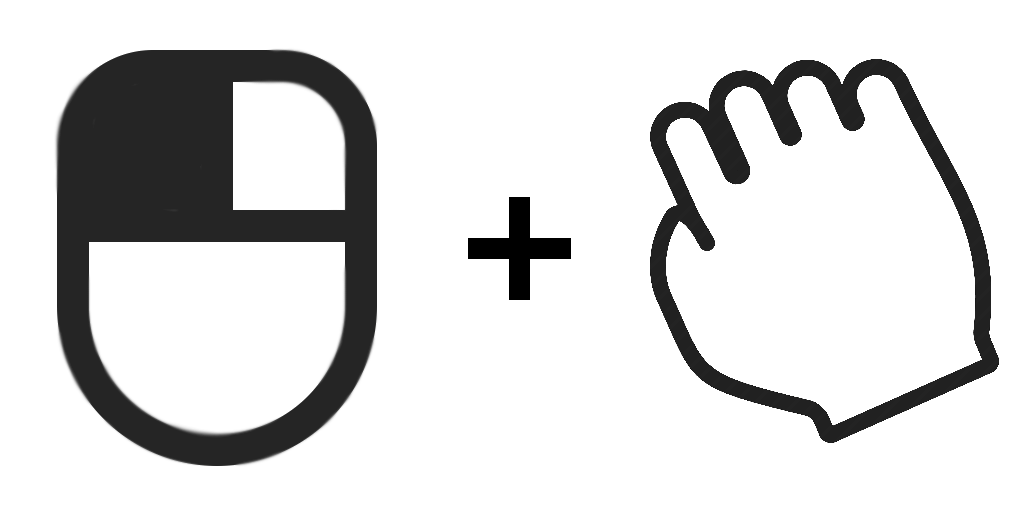
Rotate the cube
Hold LMB + Drag

Translate the cube
Hold RMB + Drag

Zoom
Scroll MMB. Change 'Zoom factor' via [Control Panel] -> [Miscellaneous]
